Cave Diving – Aggalaki Cave Exploration, Kefalonia
Expedition Details
Date:
February 24 – March 3, 2009
Organization:
HELLAS UNDERWATER EXPLORERS
Participants
Article:
George Petrou
Photography:
Kypreos Tasos, Nasos Zervopoulos, Gravanis Ilias, George Petrou
Video:
Nasos Zervopoulos
The Exploration
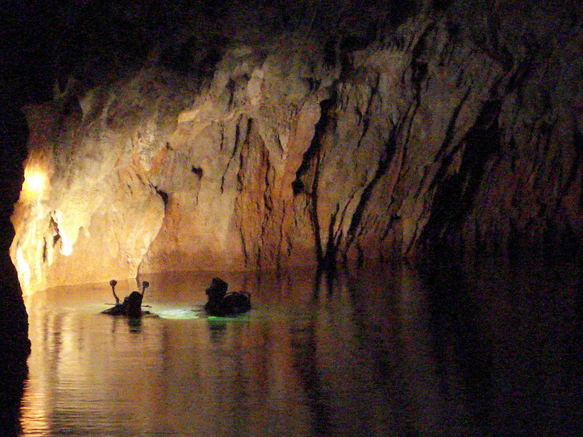
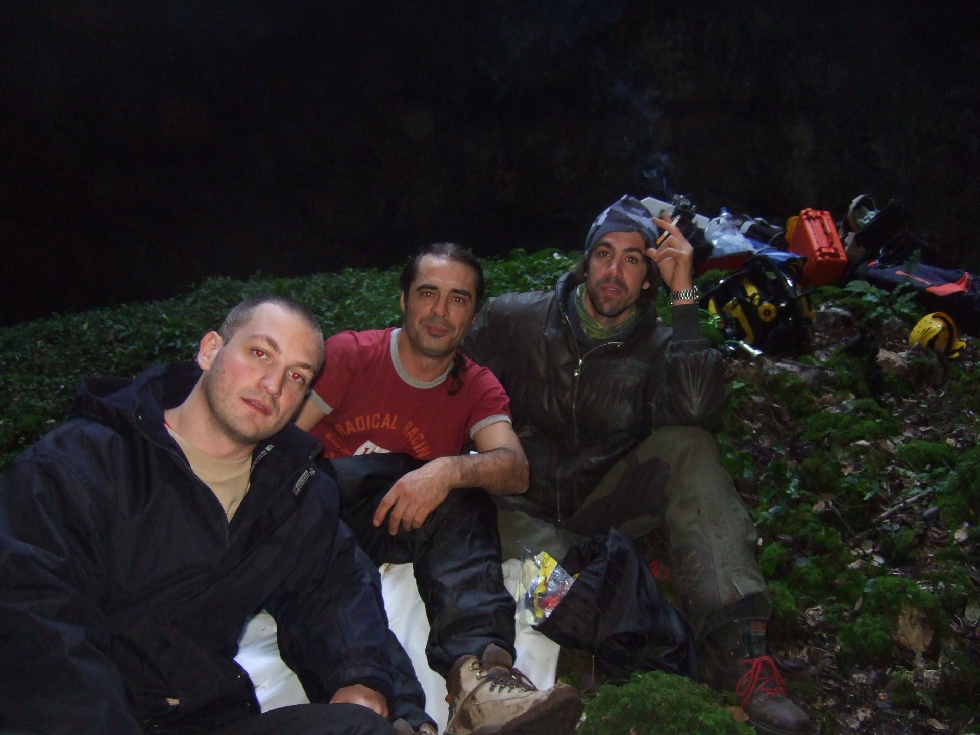
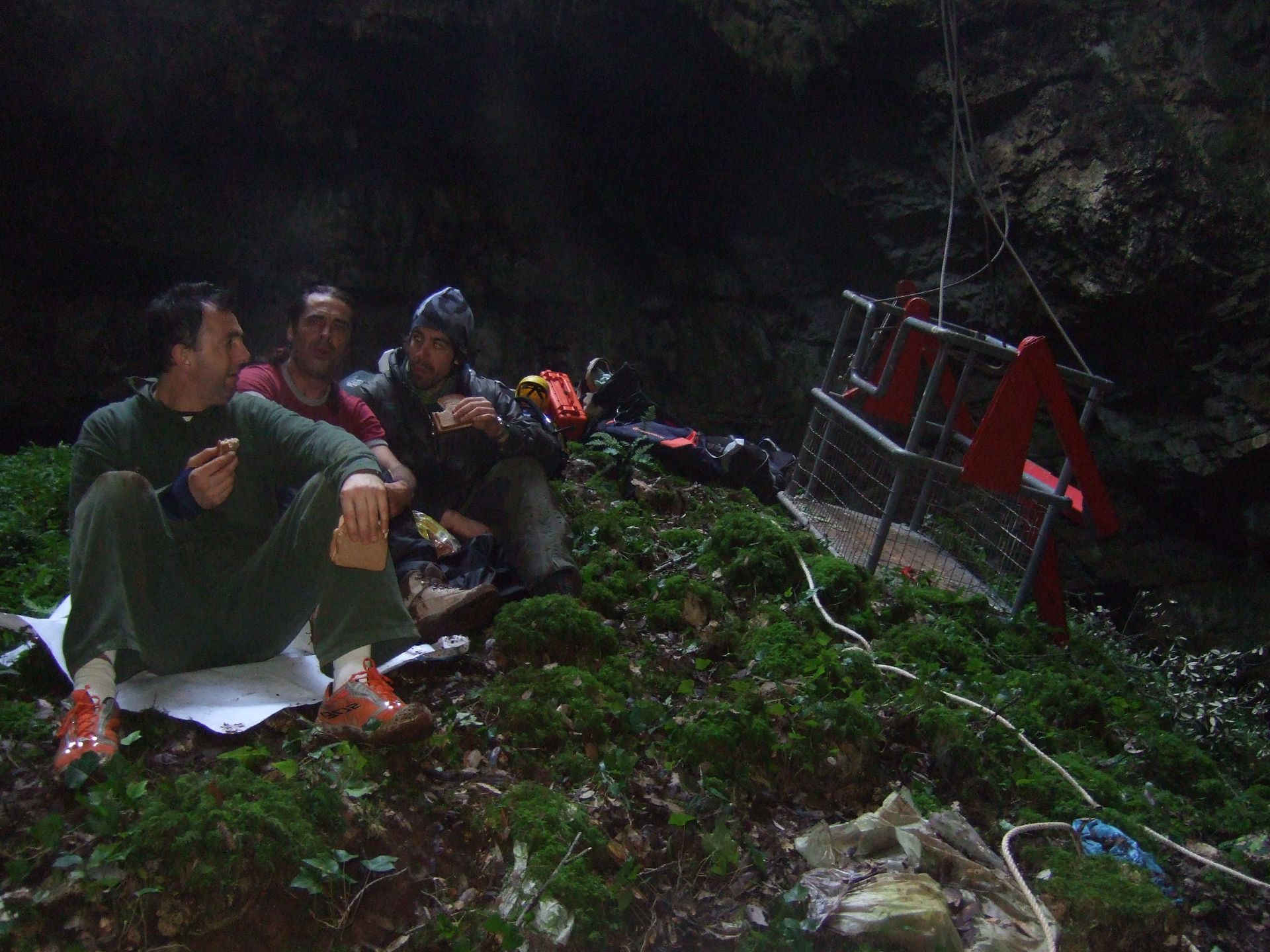
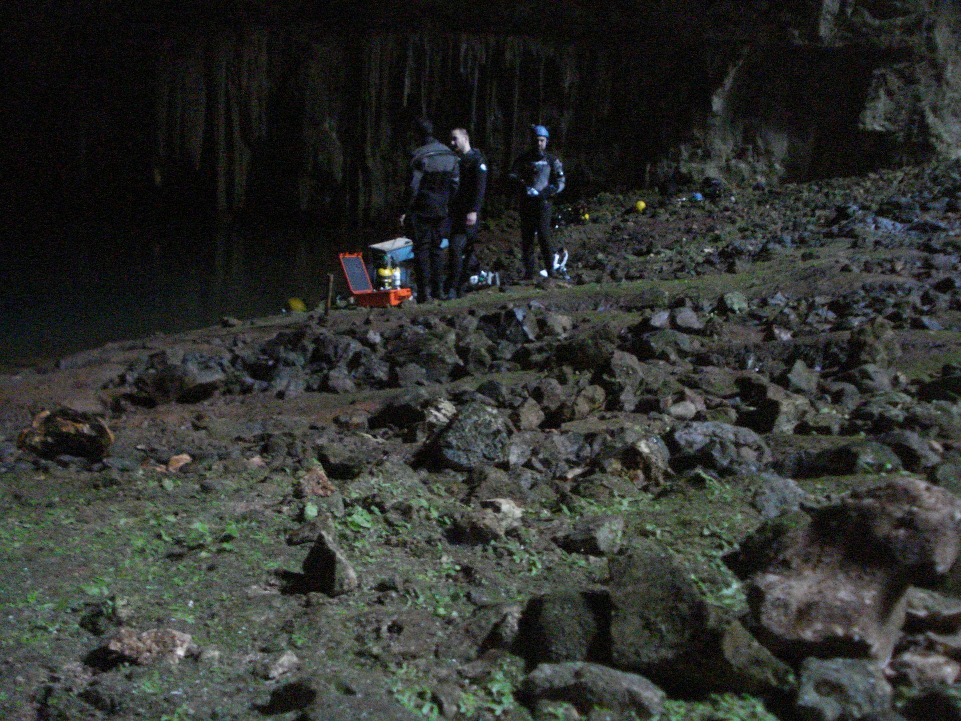
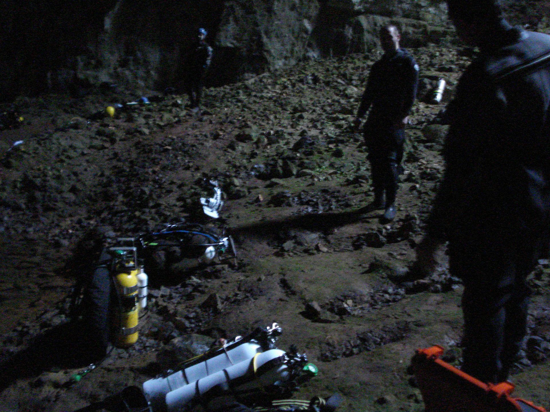
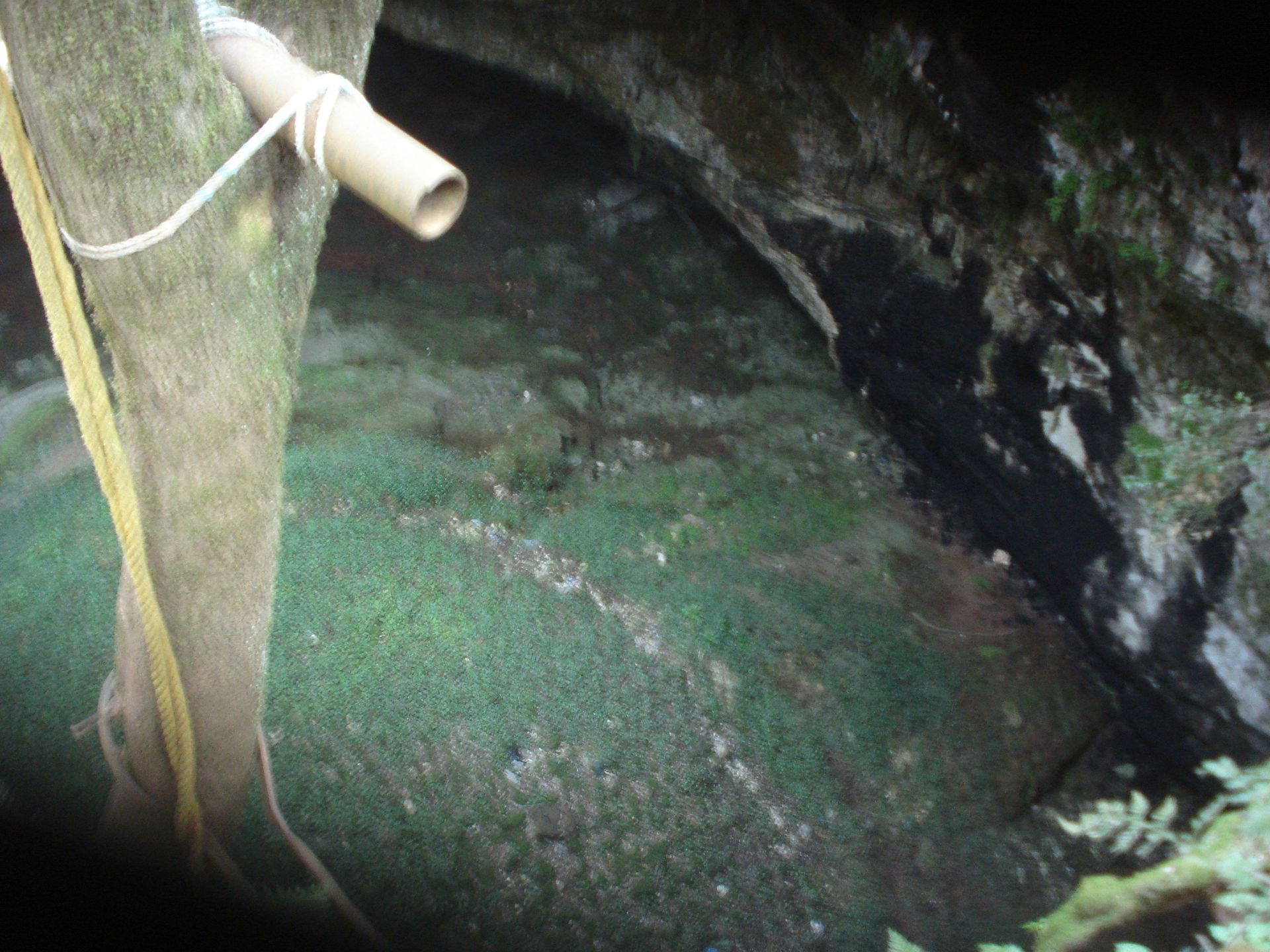
One of the well-known lake caves in the Sami area is the Aggalaki cave chasm. The team consisted of George Petrou, Nasos Zervopoulos, Kypreos Tasos, and Gravanis Ilias.
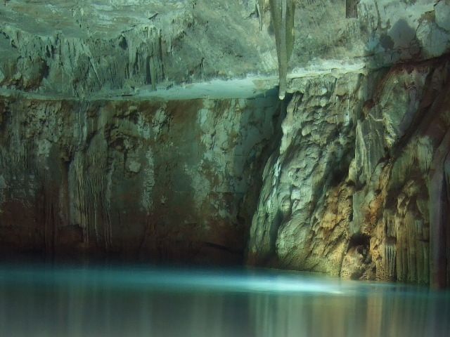
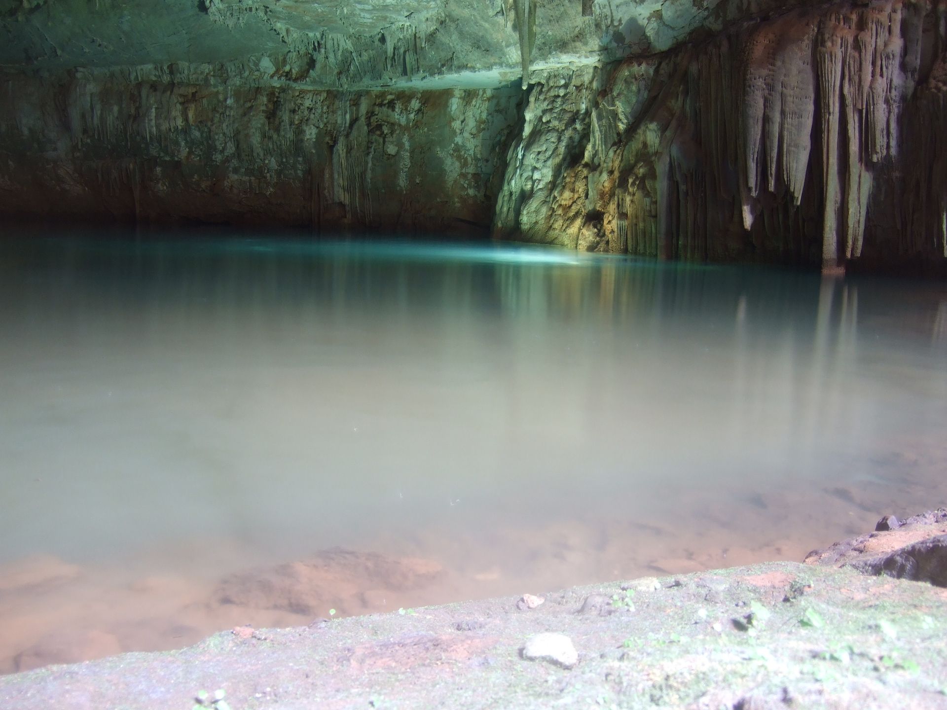
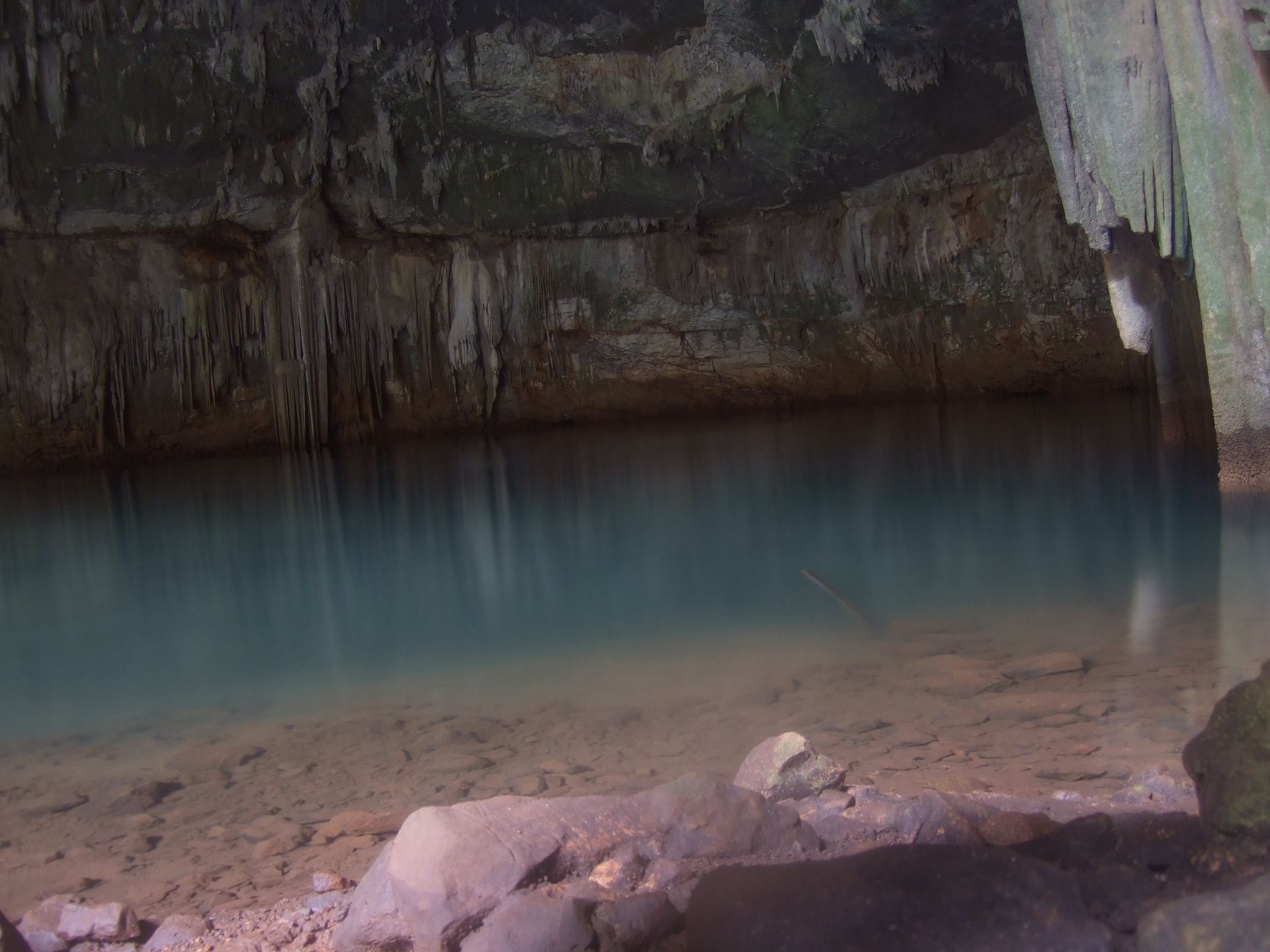
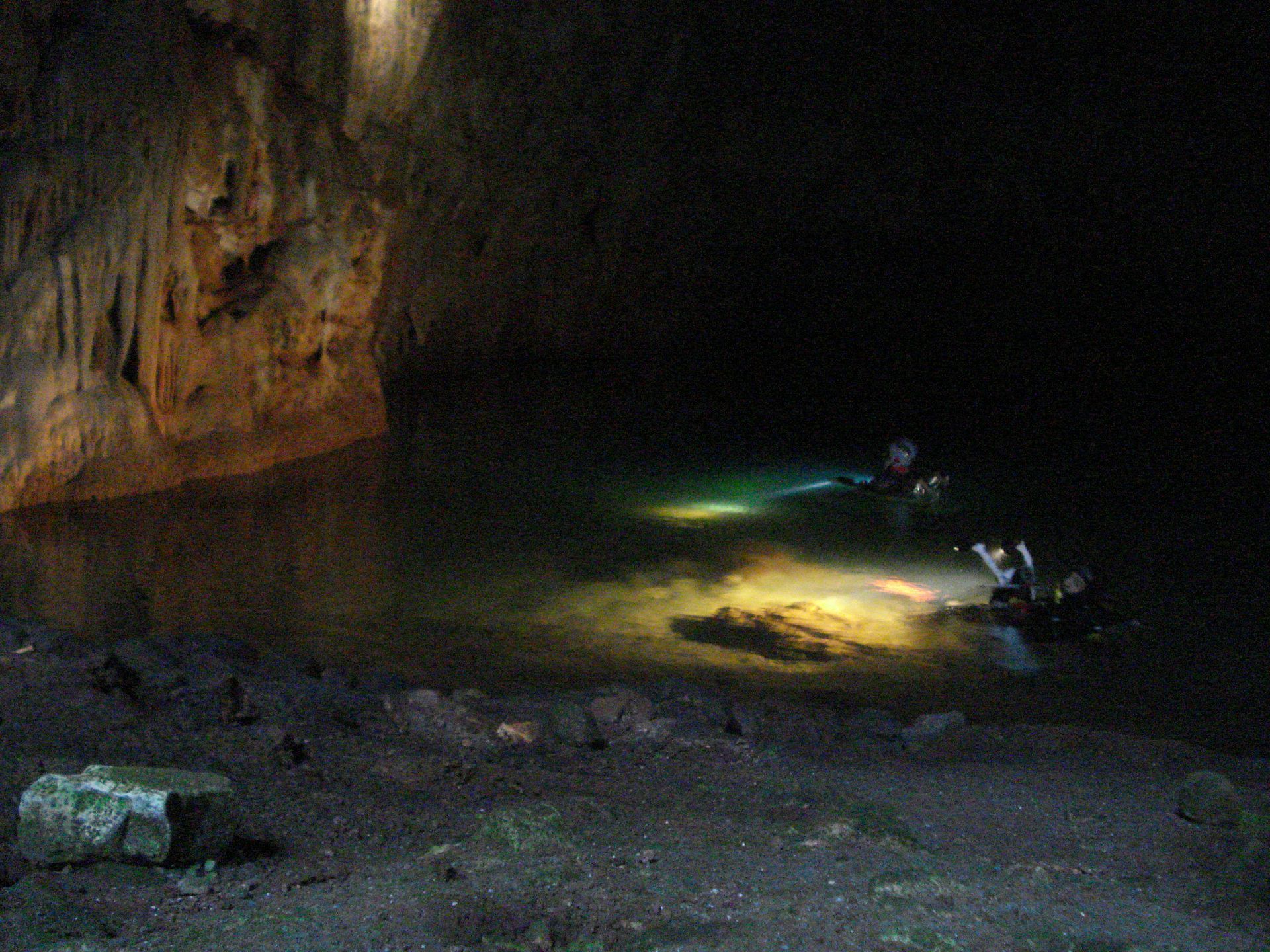
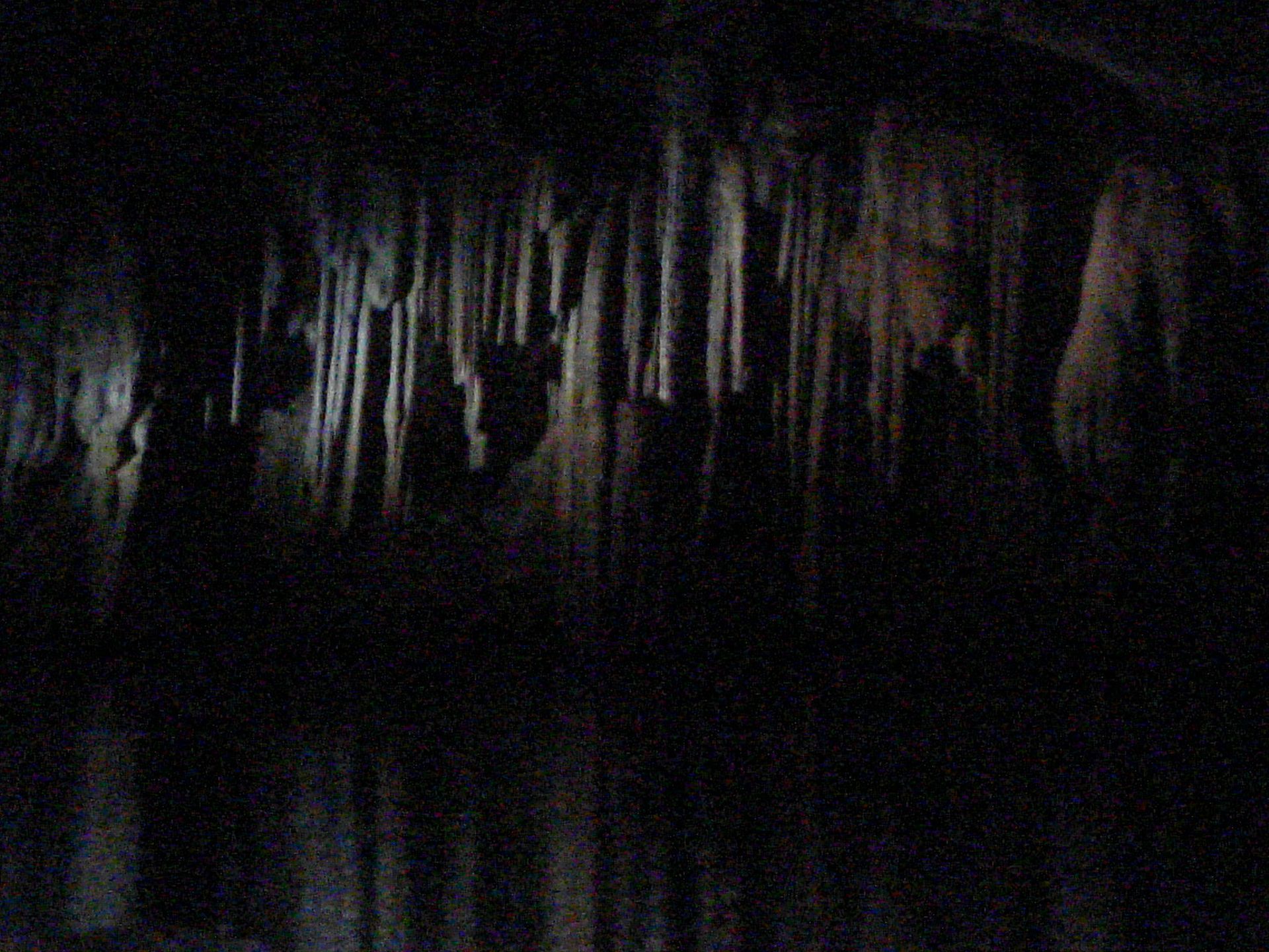
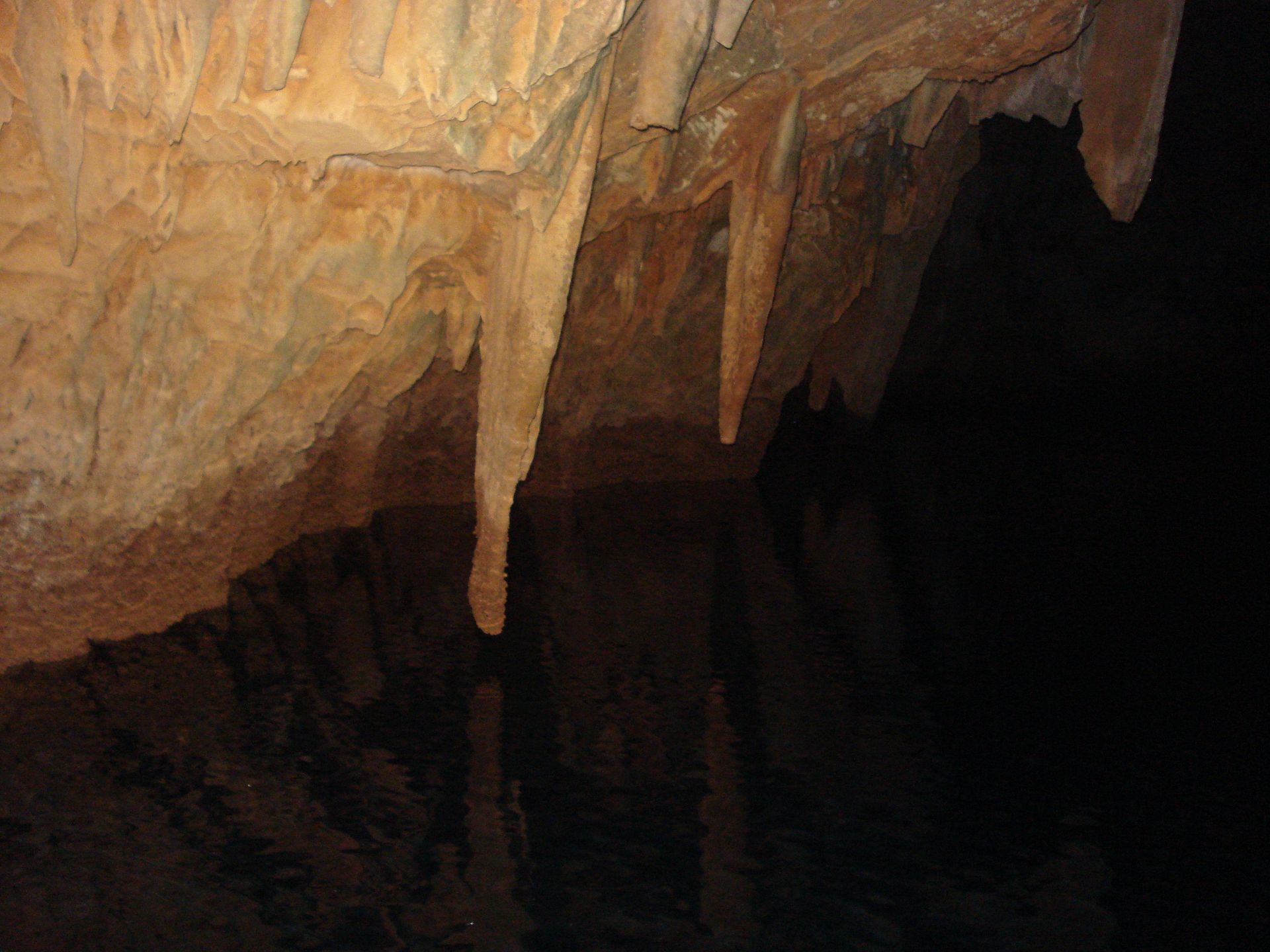
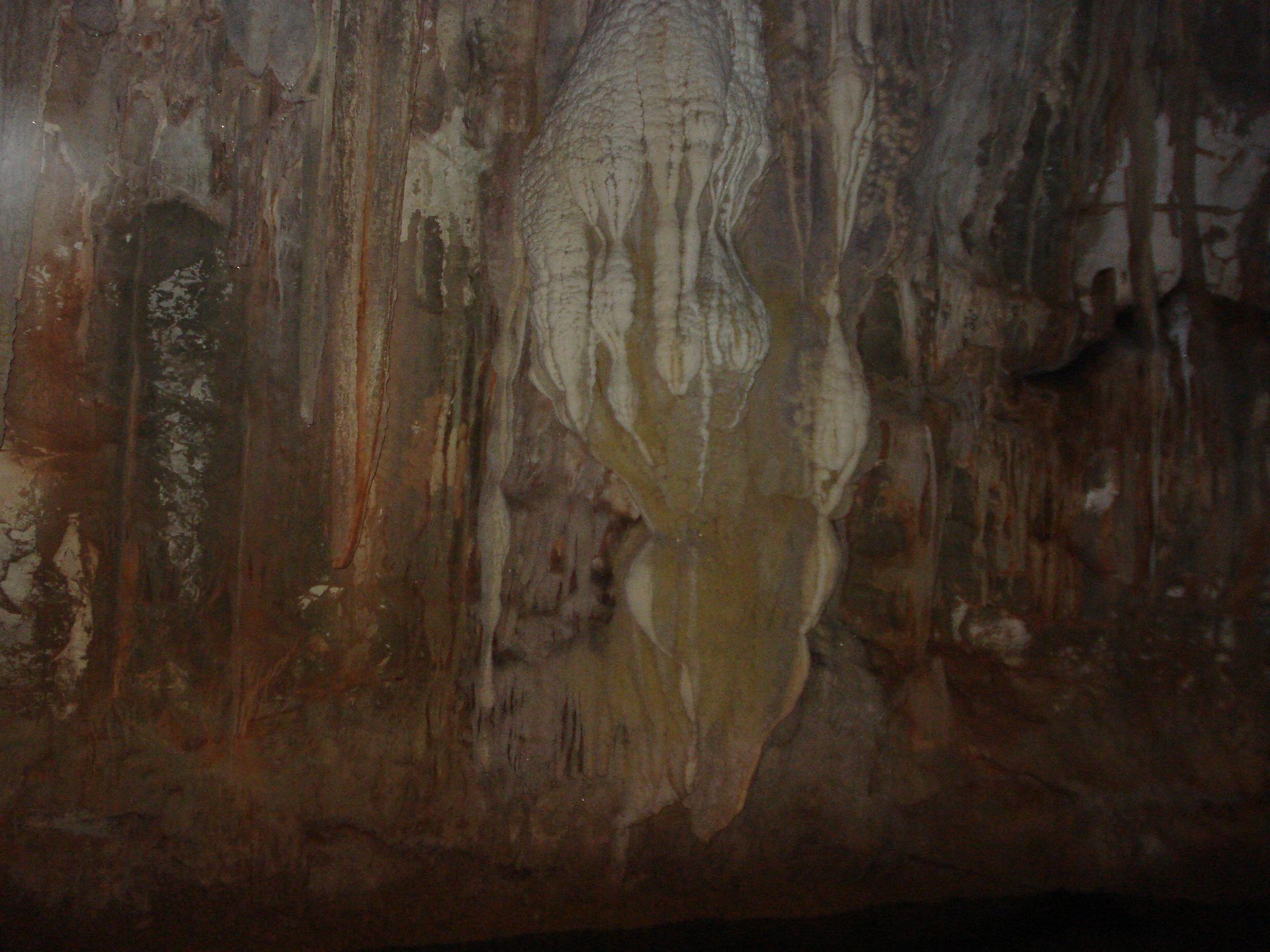
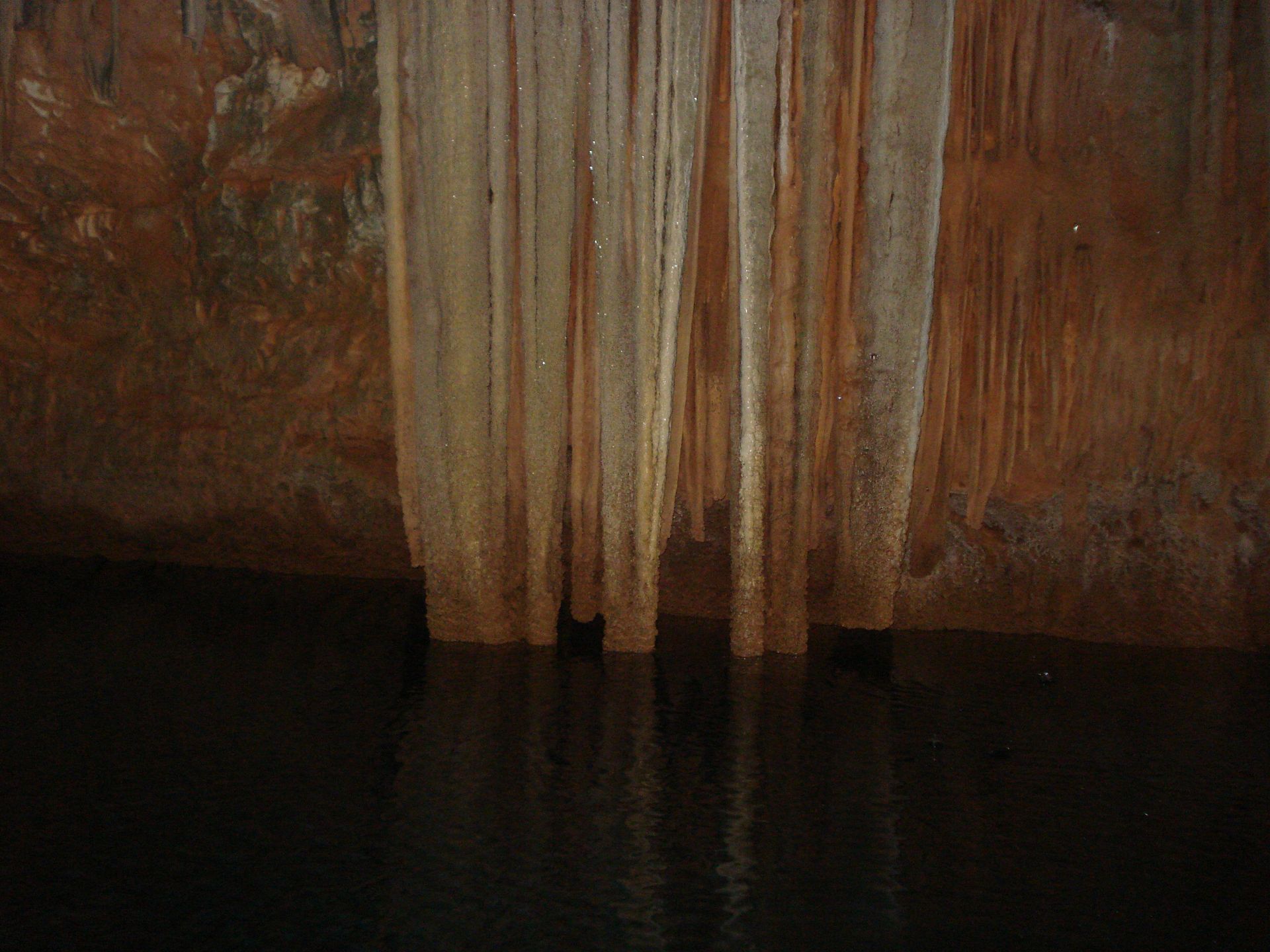
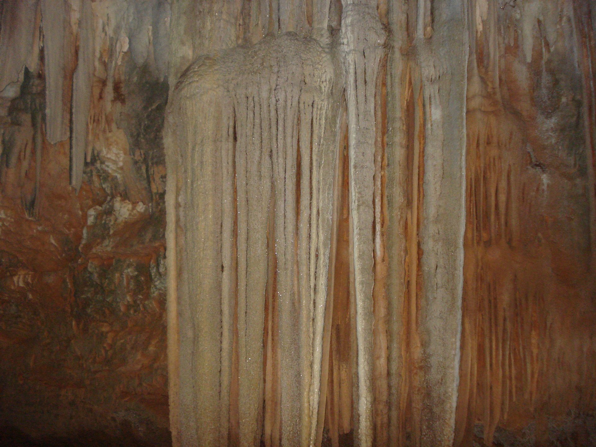
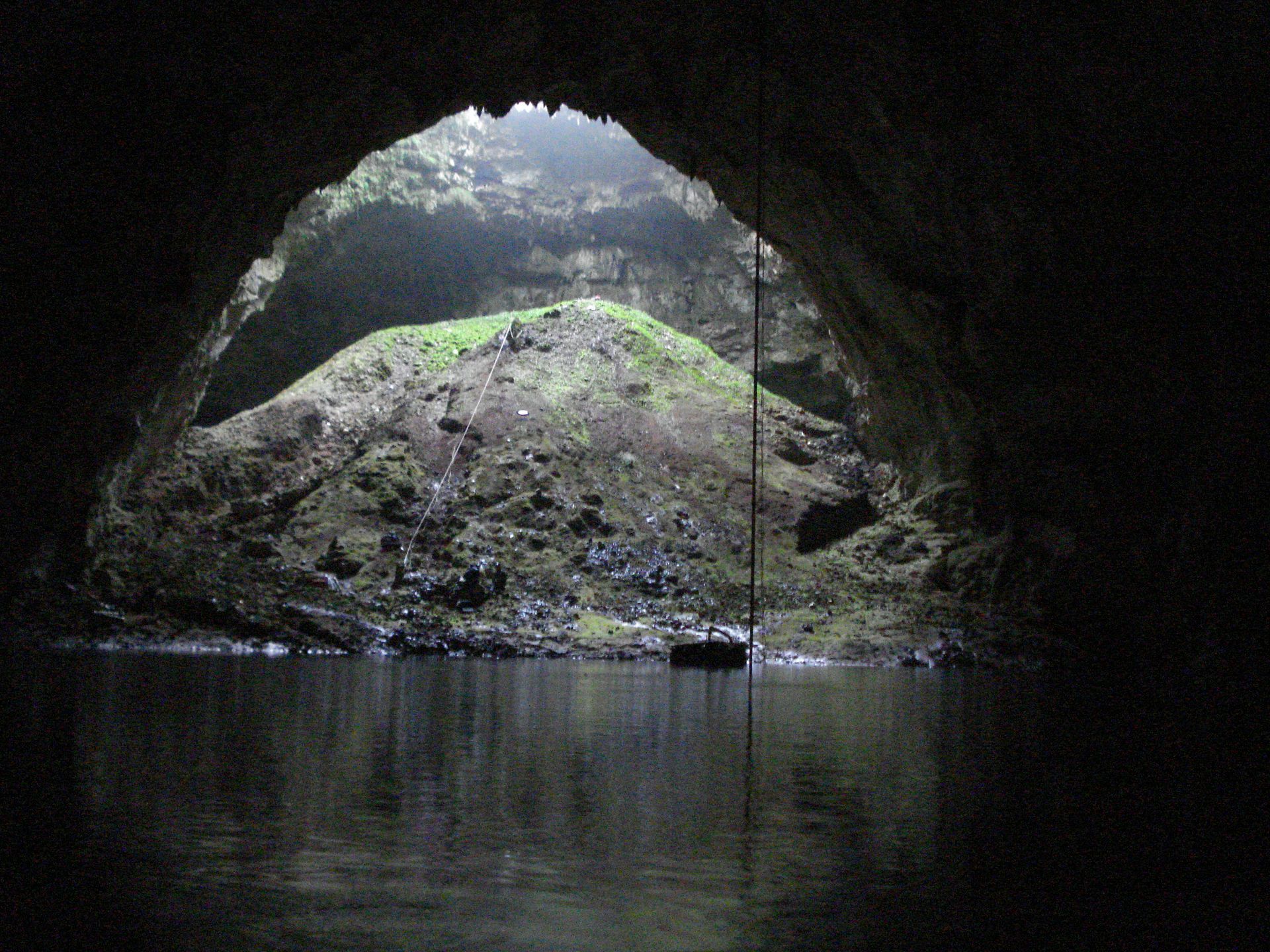
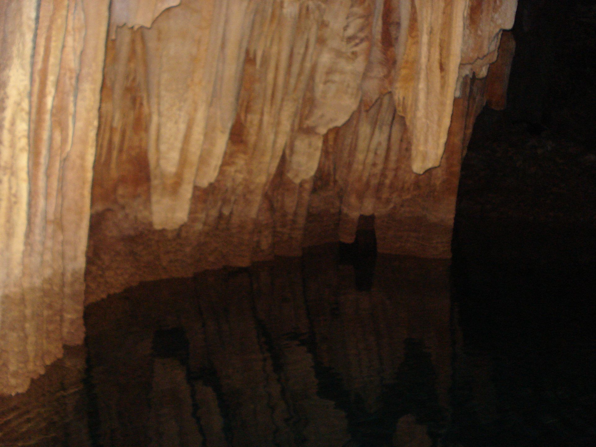
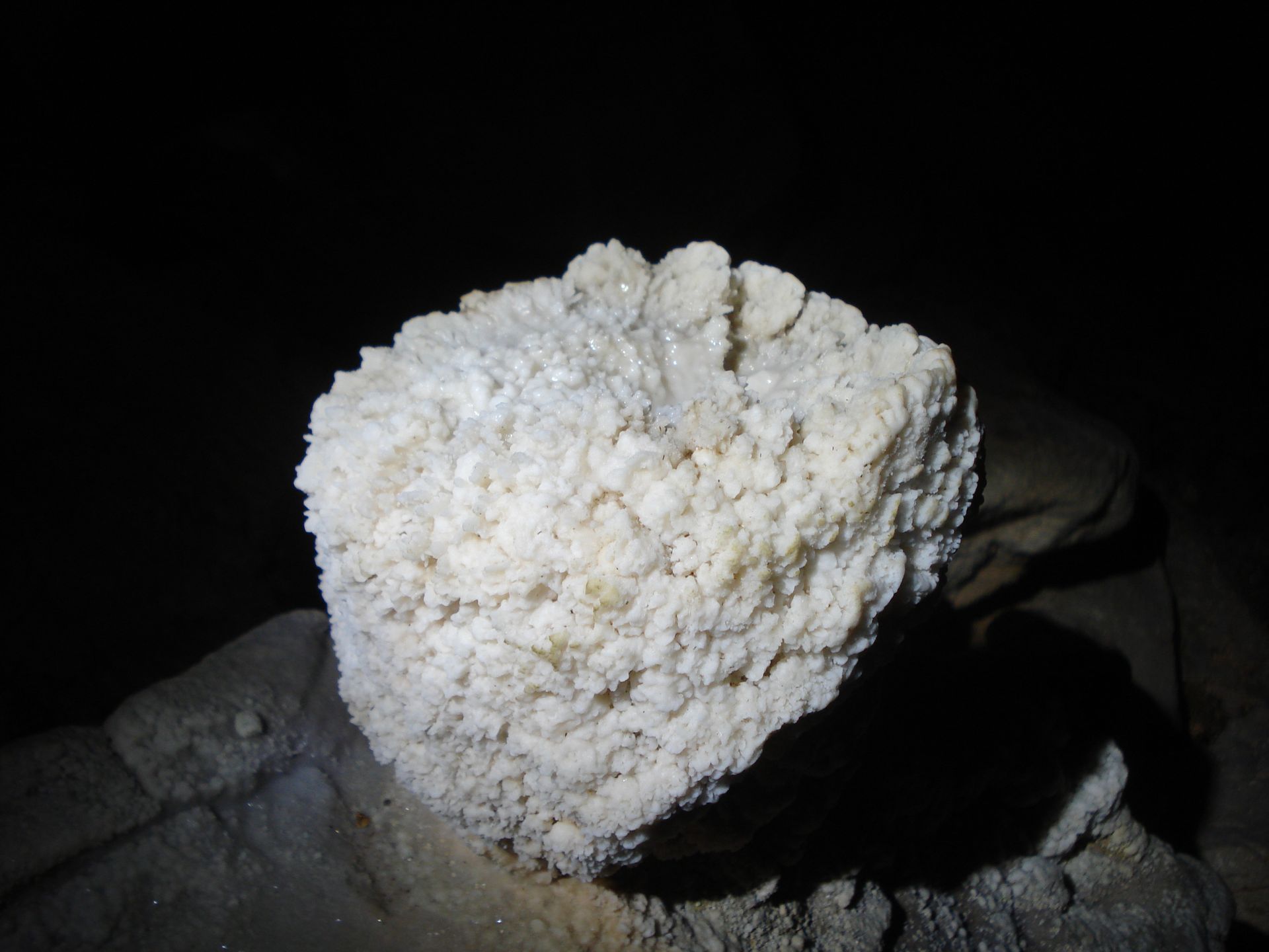
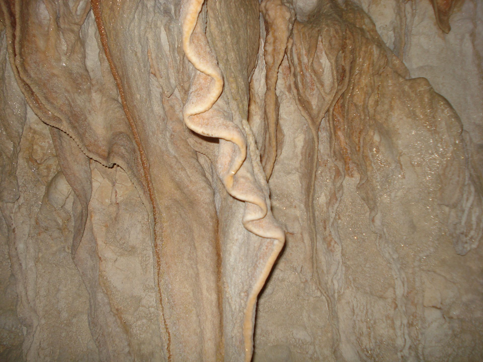
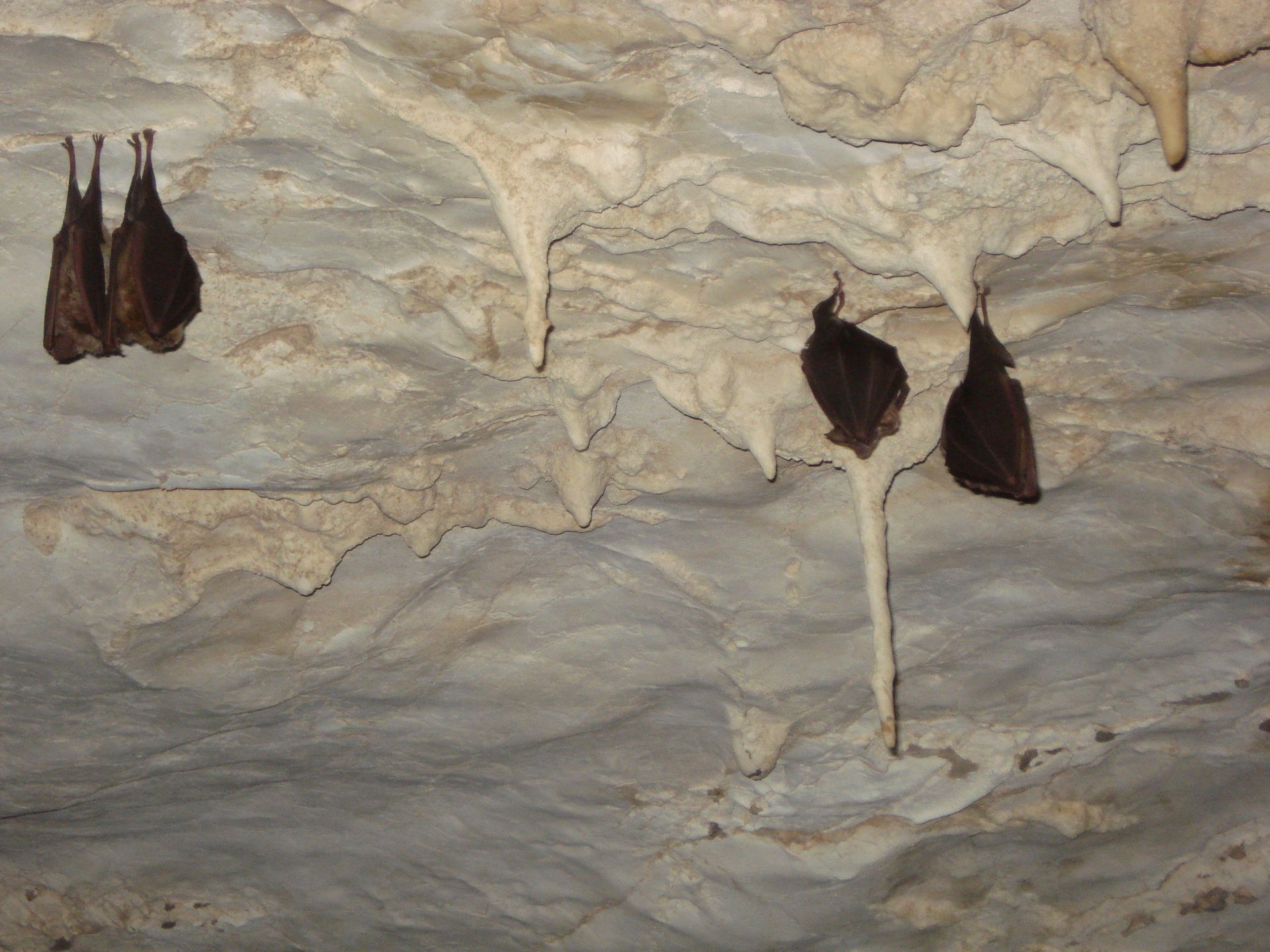
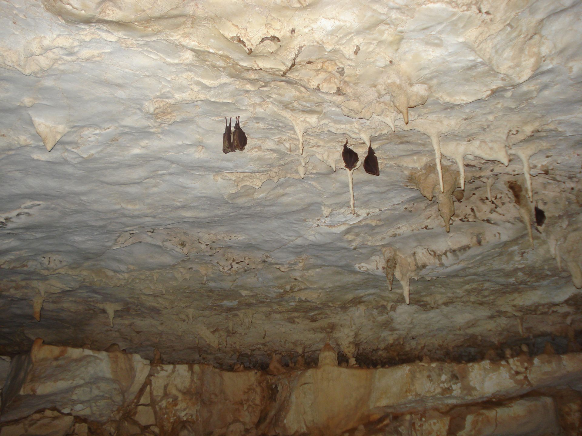
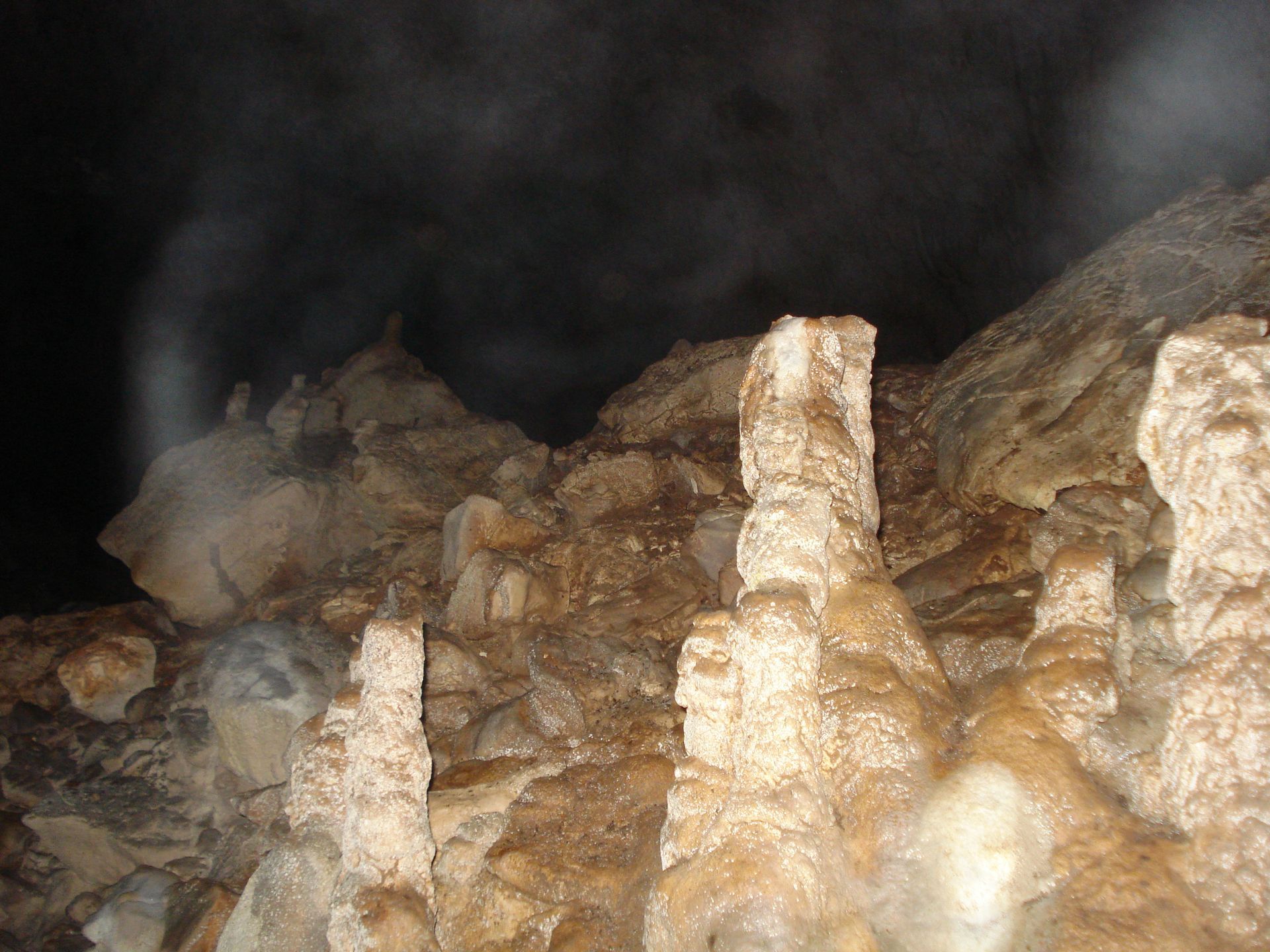
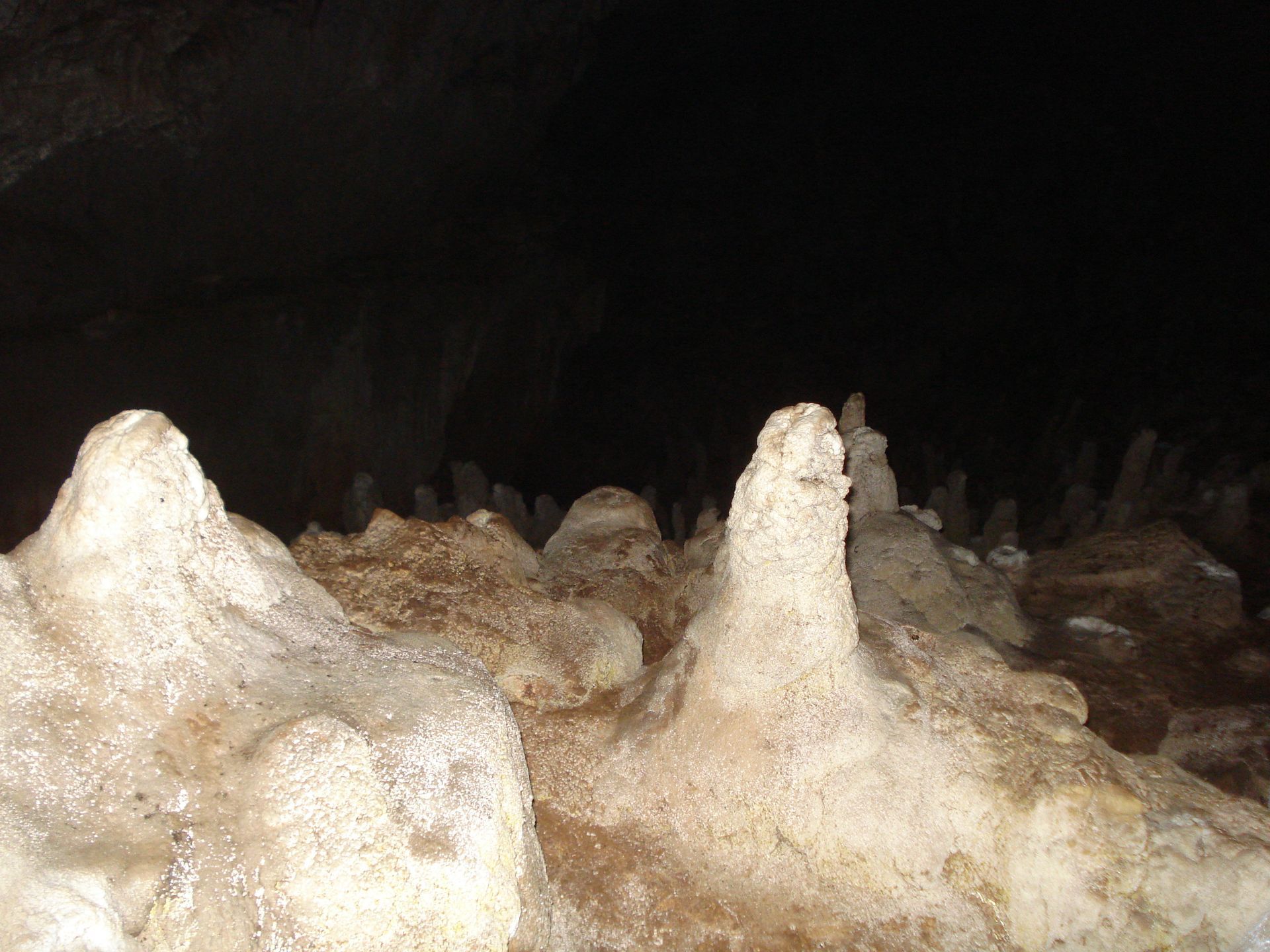
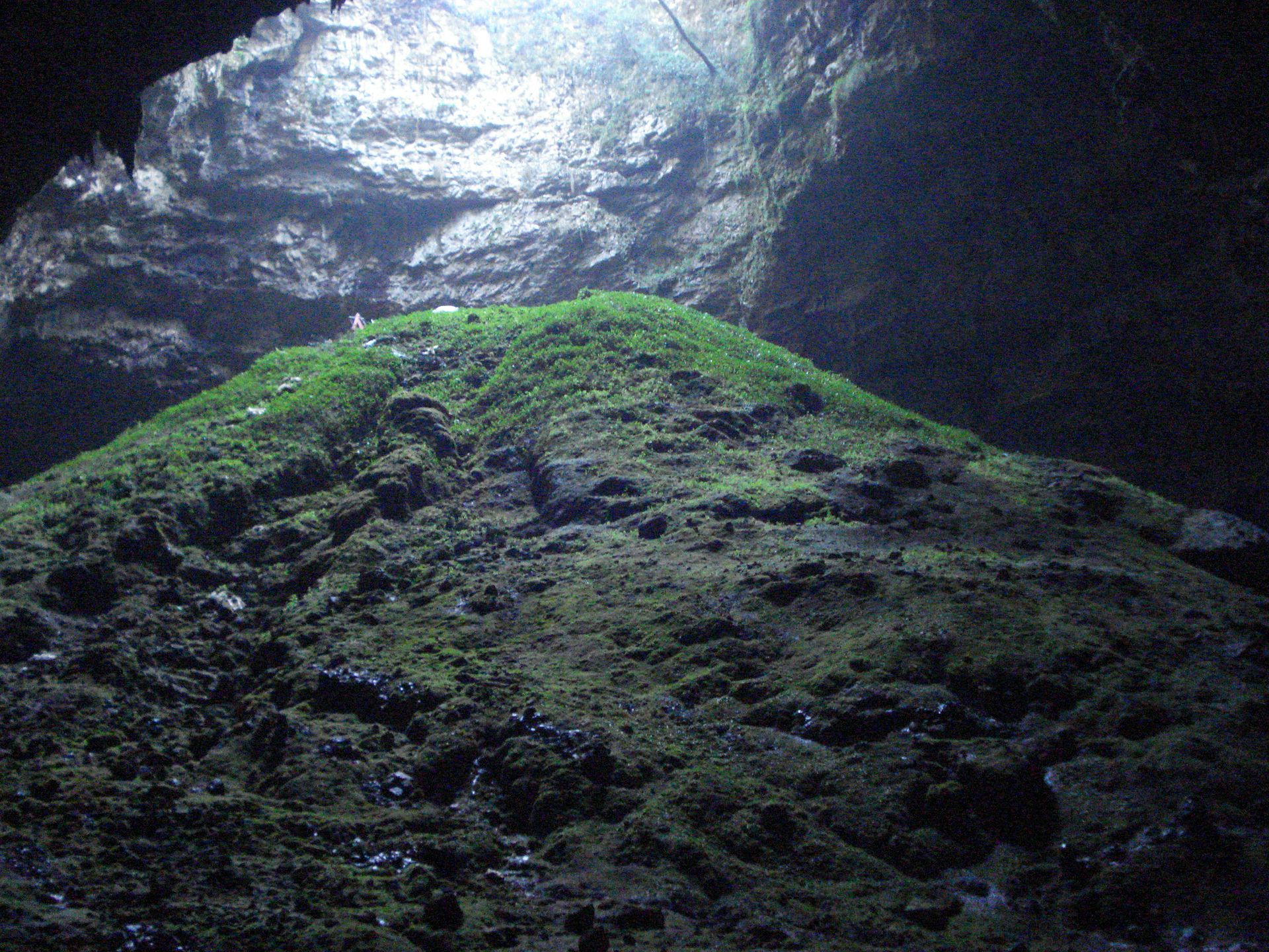
We walked through the magnificent terrestrial cave, full of bats, stalactite and stalagmite formations, and turquoise pools. We dove into its lake with centuries-old stalactites hanging above us. A spectacular, emerald green, luminous lagoon with easy accessibility. Ideal for tourist development, but the issue is its environmental protection.
Geographical and Geological Characteristics
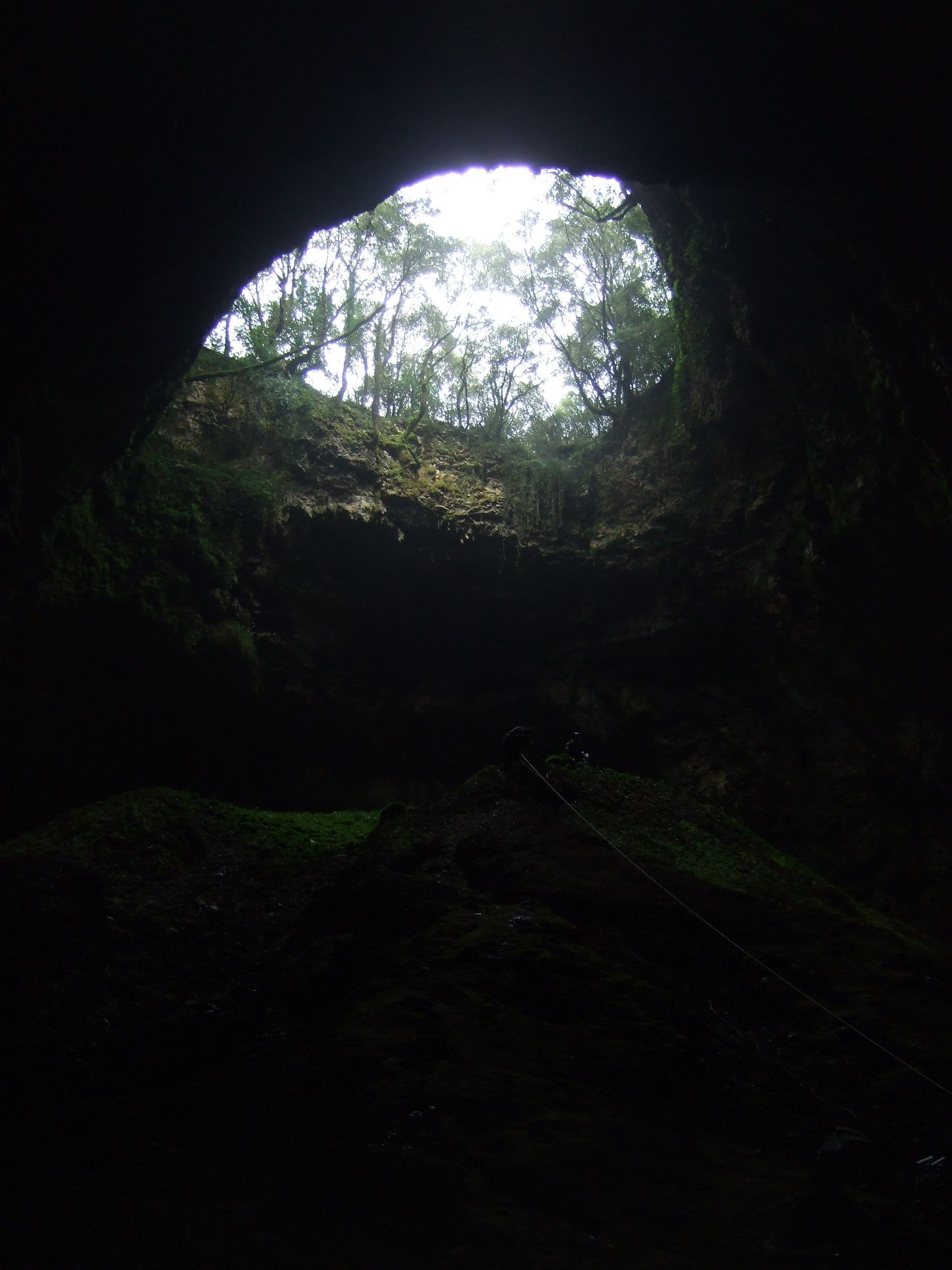
Location and Access
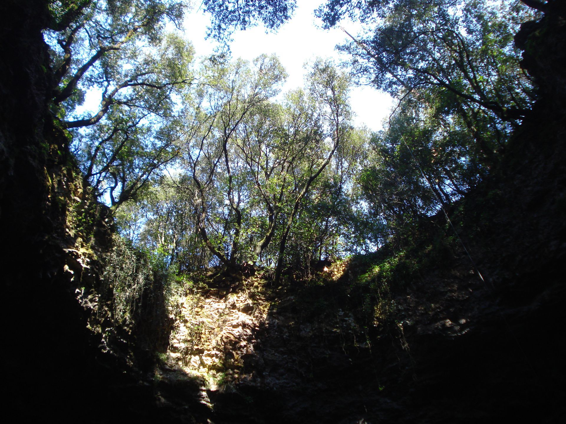
The beautiful Aggalaki cave chasm is found 2 km east of Poulata village near Sami. It is clearly part of a system of 17 caves very close to each other, most of which have underground lakes and rivers with fresh or brackish water.
Natural Features
It is certain that the cave waters communicate with each other through narrow underground passages due to erosion of the limestone walls. Aggalaki is clearly the largest and most impressive, surrounded by olive trees and shrubs.
Dimensions:
- Entrance diameter: 30 meters (circular opening)
- Depth: 50 meters
- Length: 200 meters
Age and Geological History
The age of the cave has been calculated to be possibly older than the Pleistocene period (2,000,000 – 12,000 BC).
Speleological Characteristics
Structure and Development
According to the Hellenic Speleological Society (www.ese.edu.gr), the development direction of the cave is N.NW and occurs along 2 axes. These axes intersect at the NW end of the cave, connecting the caves created on each axis, at the ends of which a natural lake develops.
Communication Passages
In their extension, there are 2 communication passages:
Eastern passage: It is below the water level and connects the lake with another inaccessible lake where blind eels live, confirming that there is communication with the sea.
Western passage: It is above the water level and bat populations have been identified.
Third passage: At the NW end of the cave, there is also a third communication passage that functions as a water escape route.
Ecosystem
The impressive stalactites from the ceiling are reflected in the cave lakes, while there is lacustrine vegetation on the bottoms.
Connection with Other Caves
Aggalaki, together with the other 2 large caves accessible to the public in the area, Drogarati and Melissani, located S.SE and N.NW respectively, extend along an axis and develop 40-50 meters above sea level and in some places 5-15 meters below sea level.
They are likely connected to each other through subsurface domes and corridors, with the total length of the 2 caves exceeding 3.5 km.
Environmental Protection
Aggalaki was included in 2007 by the W.W.F. in the "Protection of wetlands of the Greek islands" program, having been characterized as one of the 803 wetlands of the island country and one of the 21 in Kefalonia.